

1. Software introduction
1.1 Software Description
Housing surveying and mapping management system adopts advanced CAD technology, database technology and computer network technology, and fully follows the national standard - real estate surveying specification (GB/T 17986).1-2000 and GB/T 17986.2-2000)。It can easily and quickly calculate the inner area of commercial housing, the public building area, the statistics of various information, the generation of area statistical tables and the drawing of stratification and household plan, which greatly improves the work efficiency of the distribution of real estate ownership certificate and the calculation of pre-sale area。
1.2 Technical Features
a) Data acquisition part: compatible with AutoCAD graphics, convenient graphics drawing
b) Data organization: graph data, attribute data, functional area data
c) Establishment of the generalization model
d) Printing and output
e) Online version
The whole graphic data and real estate information data in the network version are uniformly stored in the established server, and the client only saves the application program, which realizes the goal of information sharing and unified management.
1.3 Main Functions
1, database support: The system can be based on user needs, select small database system ACCESS, medium and large database system MS SQL SERVER and large database Oracle。
2. Interface style: The system adopts WINDOWS style user interface, which is easy for users to be familiar with and master。
3. Graphic editing: The system is compatible with AutoCAD graphics commonly used in the construction industry,Take advantage of powerful, widely used drawing techniques,Combining database technology and computer network technology,Through secondary development,It realizes a set of real estate area measurement and management information system, which includes registration of real estate information, drawing of stratified household map, area collection, allocation calculation of common public area, report output and graphic output。
4. The system realizes the association relationship between graphic objects and database, and realizes the associated query of unit household information (or public area information) and its corresponding unit household (or public area) graphics。
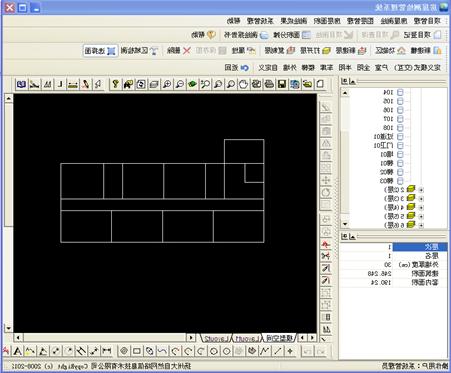
5. The integrated control window of the house structure is established, so that the building, functional area, floor to household and public area of a house are reflected in one window and in the form of a tree list, so that the house structure is displayed in a hierarchical and intuitive window。In this window, we can establish the building structure, switch floors, collect the area and query the area value。
6. Apportionment calculation: The system apportionment calculation of the common public area according to the standards of the national real estate measurement code。
7, perfect rights management: the system provides a strict rights division mechanism, each operator has an independent user name and password, and is granted certain rights。Users perform limited functions with the permissions they are granted。The establishment of users and the allocation of their rights are maintained by senior management through the system maintenance module。

 Wechat public account